
How to Get Utility Records for an ALTA Land Title Survey

If you’re planning a commercial property deal, chances are you’ll hear the phrase alta land title survey before closing. It’s not just a map of the property. It’s a detailed document that lenders, title companies, and attorneys rely on to confirm boundaries, easements, access rights, and—something many people forget—utilities. Utility records often become the hidden […]
Goat-Gate in Wyoming: Flood Lessons for ALTA Surveys
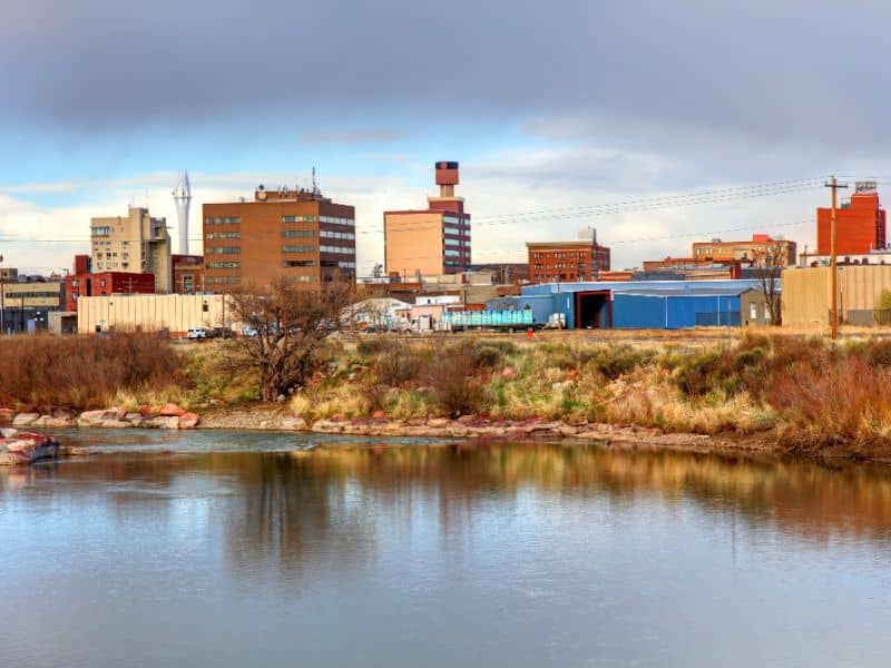
When it comes to real estate due diligence, ALTA surveys are the gold standard for mapping easements, flood risks, and property boundaries. A recent viral story out of Rock Springs, Wyoming proves why these surveys matter more than ever. On September 21, 2025, Rock Springs officials proposed spending $58,000 to bring in goats for flood […]
How Solar Storms Affect an ALTA Survey

If you’ve ever ordered an ALTA survey, you already know accuracy is everything. Lenders, title companies, and attorneys expect survey results to be spot-on. Even a few inches off can create confusion about boundaries, easements, or improvements. Most of the time, surveyors depend on advanced GPS tools to get that precision. But here’s the catch: […]