
Buying land, whether commercial or residential, is always an expensive endeavor, even if prices have eased somewhat lately. This is why finding a piece of land that you like and making an offer for it without conducting a land survey on the area is possibly the biggest mistake that you can make.
Here’s why it’s very important that you have land surveying done first:
Land surveyors can determine if you’re actually getting what you’re going to pay for. This means find out whether the sidewalks, trees, driveways and even the bird bath is part of the property you’re about to buy. Land surveying would also determine whether the neighbors are encroaching into the property, which would then mean you’re going to have problems in the future with your neighbors.
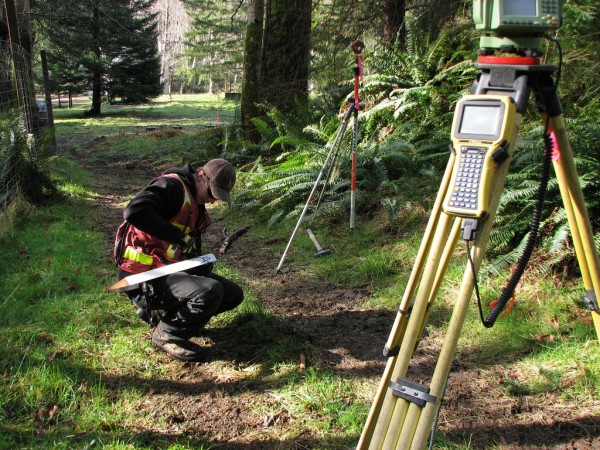 Hiring a lamand surveyor doesn’t only mean they determine what you’re getting or not getting – land surveyors are the experts, and they can help with building regulations, wetland regulations, etc. Take note that these regulations can change anytime, but land surveyors should be updated on these regulations, or they will refer you to someone who is.
What if the current landowner (the one selling the land) can provide you with old land survey documents? You should still hire your own land surveyor to see if the boundary monuments are still in place. Also, land surveying done a few years back may not show recent changes to the land. If the existing survey is older than about ten years, you should get a whole new survey. Technology and surveying standards are both a lot better now and should provide you more confidence in the survey work.
Second, that survey was completed for that owner. He may have instructed the surveyor not to show certain things on the drawing. At least have a land surveyor go out and review the parcel with this survey in hand. We have seen numerous cases where a new land survey would save the buyer thousands so don’t become a victim.
I’ve heard a lot of people say hiring a land surveyor is nothing but unnecessary expense. I’ll tell you what’s unnecessary: the stress caused by paying thousands of dollars for something and ending up not getting what you were expecting. If you are smart, you’d hire a certified land surveyor before making any land purchases.