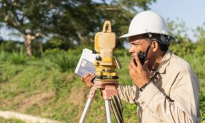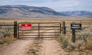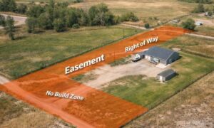
There are different reasons why somebody would need boundary surveying in their property. Often, this type of surveying is done if the owner of the property wants to legally place an item on the property such as a new structure or a fence.
A Licensed Land Surveyor
When hiring a land surveyor, you have to make sure that he is duly licensed by your state. A “licensed” land surveyor means he was able to complete his studies, passed all exams and is certified to perform specific types of land surveys.
Hiring a licensed land surveyor is especially important if there is a dispute over a certain area of a property as the court would be asking for the current boundary survey result as well as testimony from a licensed land surveyor. With this being said, you also have to make sure that the surveyor you’re going to hire can also stand as an expert witness in court.
Looking for a Licensed Land Surveyor
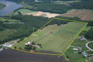 If your property has been surveyed before, it would be easier for you to contact that land surveyor again. This is the best option for several reasons; he already has all information about your property, making it easier for him to perform a new type of survey.
You can typically find your land surveyor’s information on the survey result given to you (if you’ve bought the property from somebody, for instance) or the result given to you by the surveyor himself.
If you don’t have the survey drawing, you can also check the markers put in place by the surveyor during the last survey done on your property. These markers, which looks like iron pegs or pipes, should have the surveyor’s license number/ name on it. You can use this information to find the surveyor online.
If you can’t find the surveyor who worked on your property before, or if the property has never been surveyed, you should easily find a land surveyor in your area (for a land surveyor in the Wyoming area, click here).
Important Points to Remember when Hiring an ALTA Surveyor
- As mentioned, make sure that he or she is a licensed land surveyor.
- He or she should have experience in performing alta boundary surveys. If you’re going to pay somebody, you’d rather have someone who has done it before, right?
- Look for someone easy to talk to. Communication is very important when hiring a land surveyor. You see, surveying is more of an art than a science – this is why land surveying results vary. It’s important that your surveyor understand why you’re having the survey, what you’re going to use the results for and how soon you’ll be needing the results.